


To begin using the radar, choose a map by clicking on one of the images below. When you click on an image the system will begin to load the most current weather data. When the radar loads you will be able to use the check boxes at the top of the page to turn the radar features on and off. To zoom in and out on the radar place your cursor on the map image and click your left mouse button. The left button zooms in. Holding down your ALT or CTRL button (CMD button for Macs) while clicking with your left button zooms out. You can also move the map around while zoomed in by holding down your left button and dragging.
Using the Left and Right Arrows, please select the Radar you would like to view
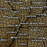
Ohio Valley Regional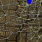
Central United States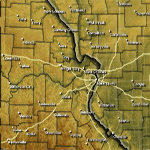
St. Louis, MO
Interactive Radar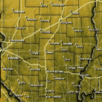
Mt. Vernon, IL
Interactive Radar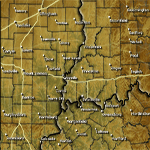
Evansville, IN
Interactive Radar
Poplar Bluff, MO
Interactive Radar
Cape Girardeau, MO
Interactive Radar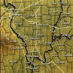
Marion, IL
Interactive Radar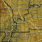
Paducah, KY
Interactive Radar
Hopkinsville, KY
Interactive Radar
The Rest of Kentucky
Interactive Radar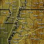
Dyersburg, TN
Interactive Radar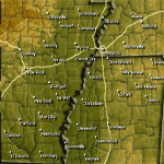
Memphis, TN
Interactive Radar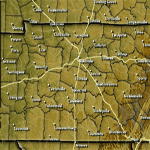
Nashville, TN
Interactive Radar
GREarth #1
GREarth #2
GREarth #3
GREarth #2

During winter storm season and when precipitation typing is on - blue areas are all snow, orange areas are sleet, red areas indicate freezing rain, and the regular reflectivity color (green with embedded higher reflectivity colors) area is all rain.
At the current time, the precipitation typing algorithm is completely dependent on the accuracy of the RUC model and may not always be 100% correct. This radar product is to give you a general idea of where mixed precipitation is expected to be located. Click here for more information on this product. (More Information...)
